
Finding the End of the Jefferson Highway in New Orleans
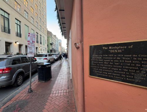
Most people come to the French Quarter for beignets, jazz, and cocktails—but on the corner of St. Charles Avenue and Common Street is a small marker of something nearly lost to history—the southern terminus of the Jefferson Highway.
It doesn’t look dramatic. No grand monument, no crowds gathered around it. Just a modest plaque that, unless you are looking specifically for it, you will likely walk right past.
But this spot once marked the finish line of one of North America’s earliest international highways.
America’s Pine-to-Palm Route
Dedicated in 1915, the Jefferson Highway connected Winnipeg, Canada, to New Orleans, Louisiana, running more than 2,300 miles. Named for President Thomas Jefferson, the north-south auto route was inspired by the east-west Lincoln Highway.
Nicknamed the “Pines to Palms Highway” because of the trees you find at each end, the route linked farms, small towns, and cities straight down the middle of the continent.
Before numbered highways and interstates existed, travelers followed named auto trails like this one — guided by painted poles, paper maps, and plenty of guesswork.
The marker may be small, but the story is big. This was Route 66 before Route 66 — a road trip back when road trips were an adventure.
Standing at the terminus today, it’s easy to imagine dust-covered cars rolling into the city after weeks on rough roads — The Big Easy signaling the end of the journey.